


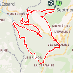

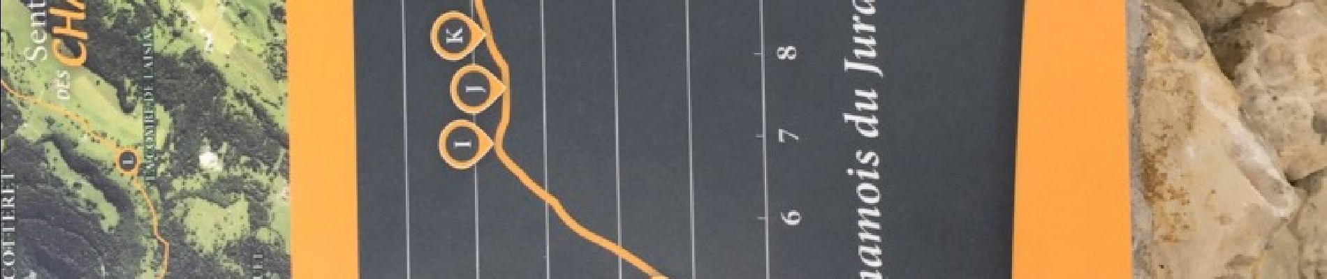
14.5 km | 20 km-effort

User


FREE GPS app for hiking
 SityTrail
IGN / Geographical institutes
SityTrail World
The world is yours!
Trail Walking of 16.3 km to be discovered at Bourgogne-Franche-Comté, Jura, Septmoncel les Molunes. This trail is proposed by zoe.vienne.
Circuit long et difficile. Fait le 30 juillet 2017


Walking

Running

Walking
Walking
Walking
Walking
Walking
Walking
Walking
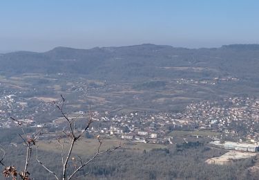
Magnifique le Jura.